
It is a lake with a humorous name to anyone British as a bogie is slang for a booger, as my good friend, Erin, pointed out. But don’t let this misnomer with suggestions of green icky stickiness put you off a glorious day out in Ontario.
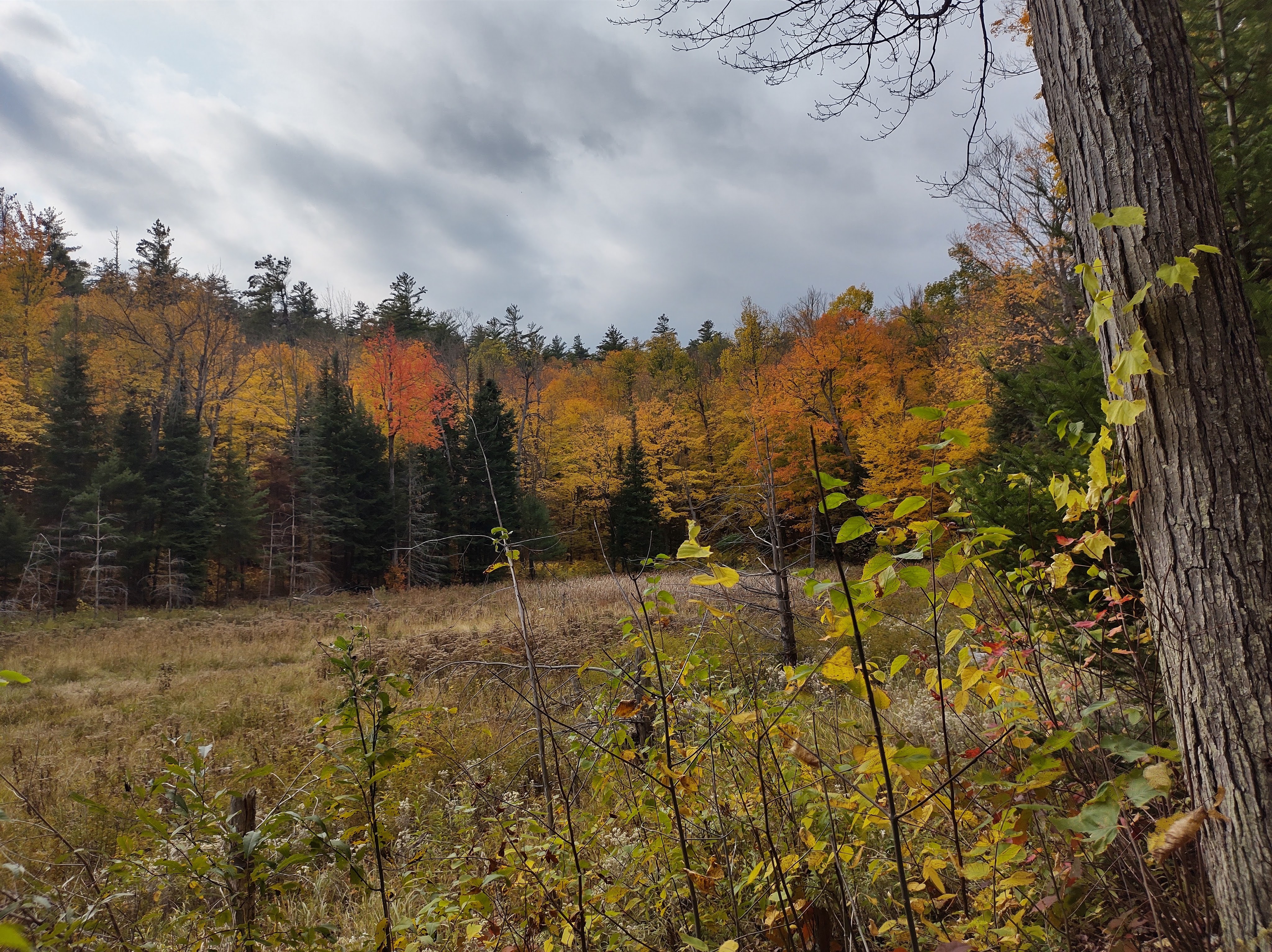
In fact, the only green things that we encountered at the lake were trees and grass as there was not a lot of green on offer, only its remnants as it is Autumn, Fall, pre-Winter – whatever you want to call it – and so, the colours on show were the vivid colours of brilliant red, warm orange and the most welcoming yellows as the photo gallery below shows.

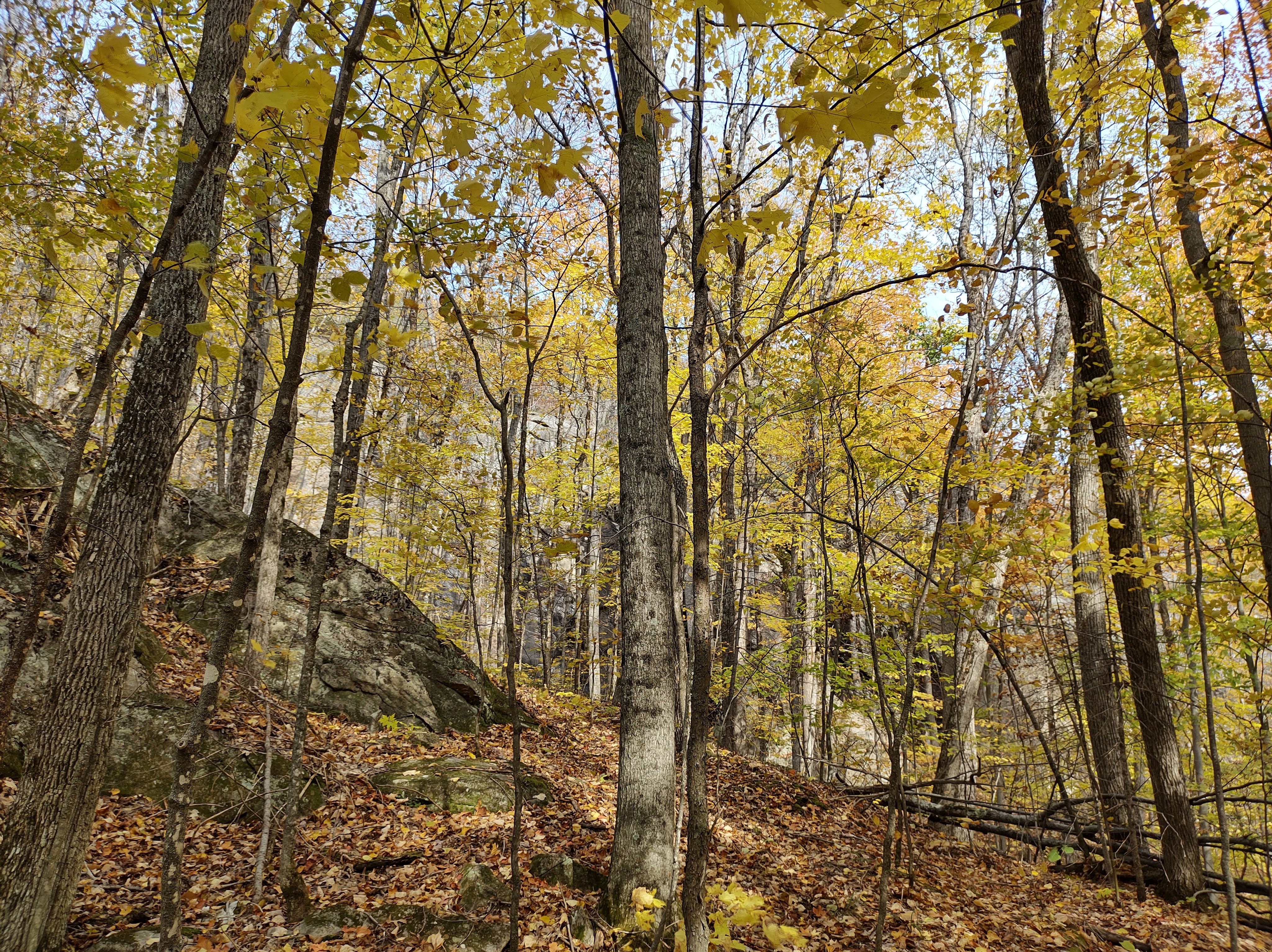
It was Thanksgiving weekend and thanks to something called Covid-19, travel plans were limited and rightly so. Whereas previously “second wave” would have meant the one lapping my feet on a Caribbean beach shortly after the first one, this rather tranquil image has been usurped by one of menace and restriction.
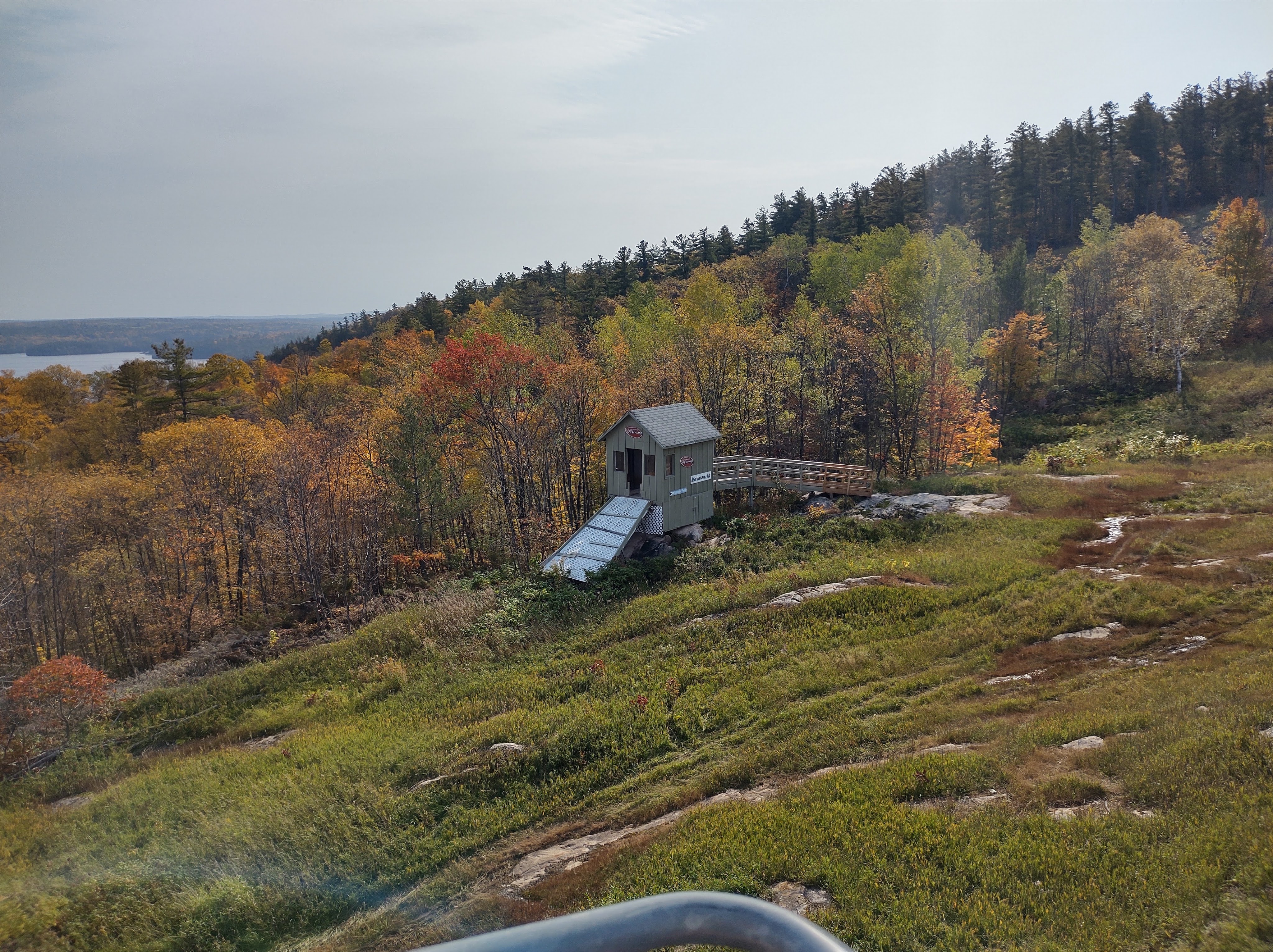
But less of that and more of our Lake Calabogie experience which was uplifting in so many ways. Firstly, because we were literally lifted up to the top of the Mount Manitou by a chairlift and secondly, because it was a beautiful day, warm with blue skies and a very small chance of rain, a Fall day to lift the soul.
Calabogie Peaks Resort was the place to visit and it appeared that other people had the same idea. And why not? It’s only a short trip outside of Ottawa and at the princely sum of $15 each to go up the chairlift, it wasn’t too badly priced. Plus, all these businesses need to make a living somehow in these times of virus so it’s good to support them if you can.
Both up and down trips were included and the view gliding past of the surrounding countryside where you are above the multicoloured canopy, with the steely blue contrast of Lake Calabogie stretching into the distance – well, it was a pretty awesome way to get the full effect of the autumnal radiance. Our plan was to explore Mount Manitou and then return to the chair lift to face the landscape and take some pretty awesome photos.
It didn’t quite work out this way.
Like a true girl scout, I was prepared and had visited the website to see if there was a map of trails, which there was and it seemed to be a very clearly represented map of the paths that we could follow once we got off the chairlift. The plan was to do a bit of trail walking at the summit, take in the view and revel in the natural awesomeness of it all, admire the plethora of colours around and absorb the majesty of being in the woods before heading back down the mountain for a picnic lunch.
The map seemed to suggest this would be an easy feat. But maps are only good if:
- the person using them looks at them regularly;
- the interpretation of the map by the person using them, based on what they can see around them, is sound;
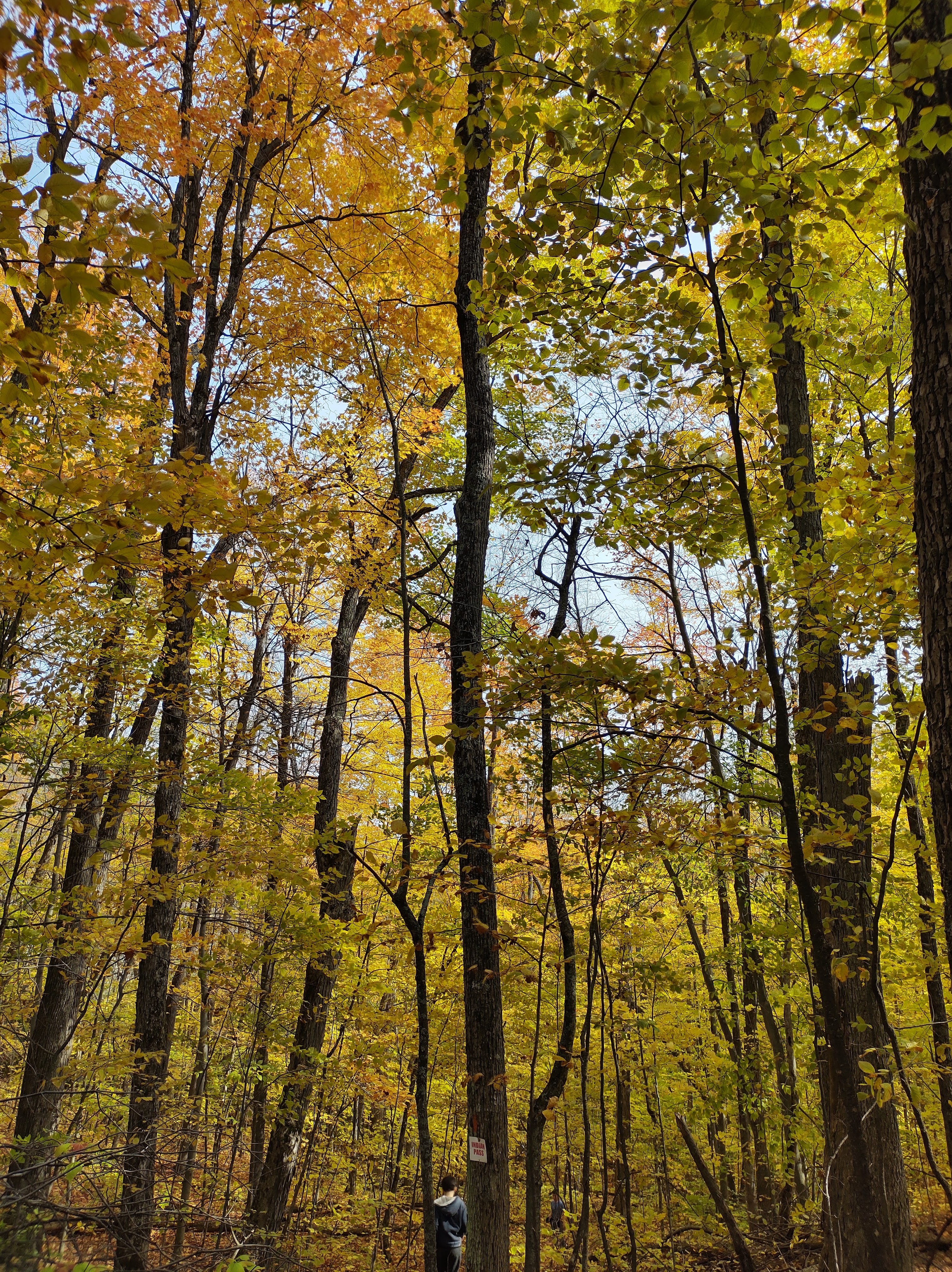
- the person using the map has adequate signposting with which to recognise features which are represented on the map;
- the scale of the map is reasonably accurate.
My husband is a good reader of maps and has a pretty good sense of direction. He is also, rather importantly, the person at the front when we go hiking with my good self bringing up the rear. So he had the map. He routinely checked places on the map with signposts in the woods and it was all going well. The map didn’t tell you about the steepness of the slopes or the squelchiness of the ground but a good life is full of mystery, isn’t it?

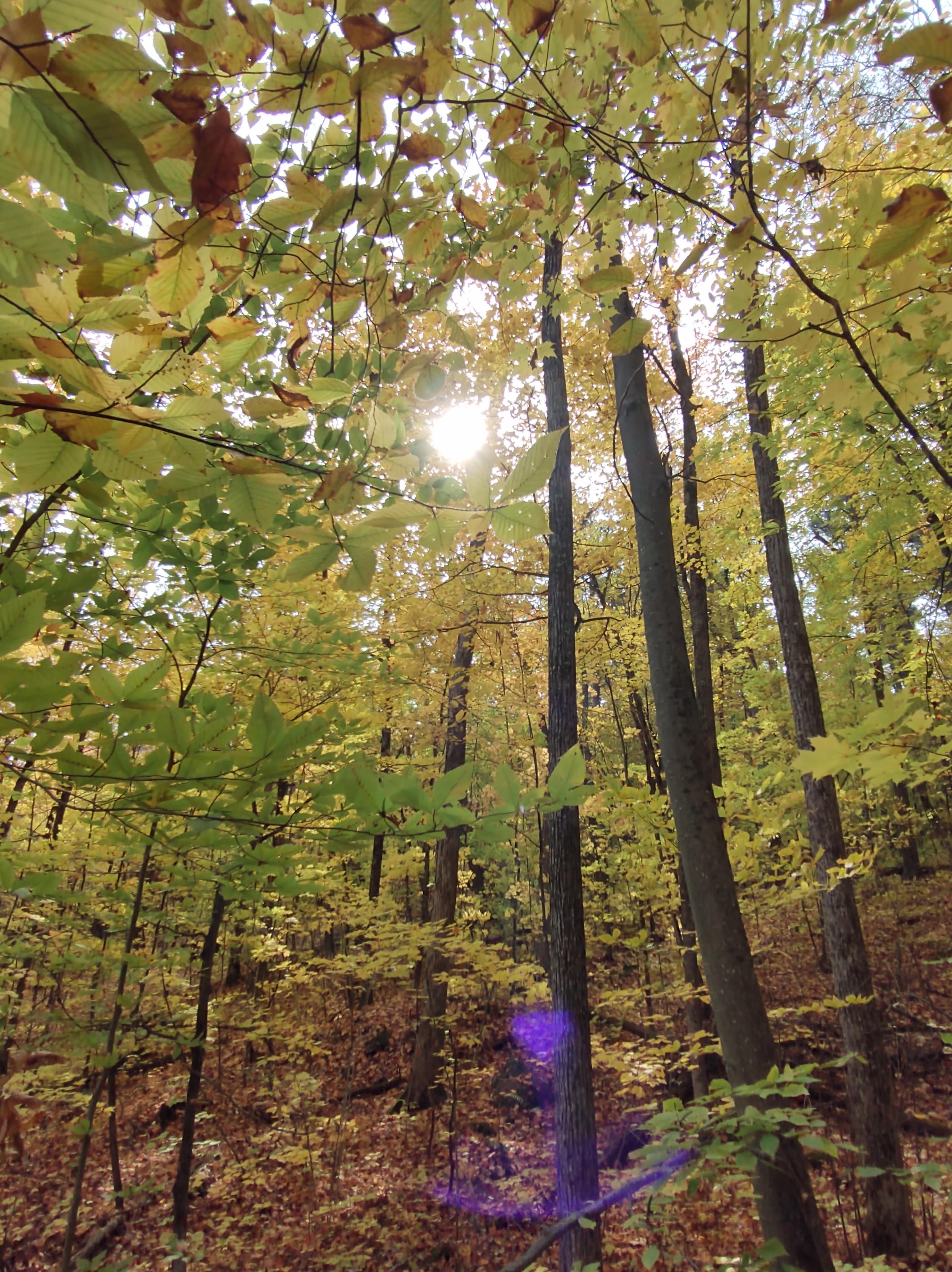
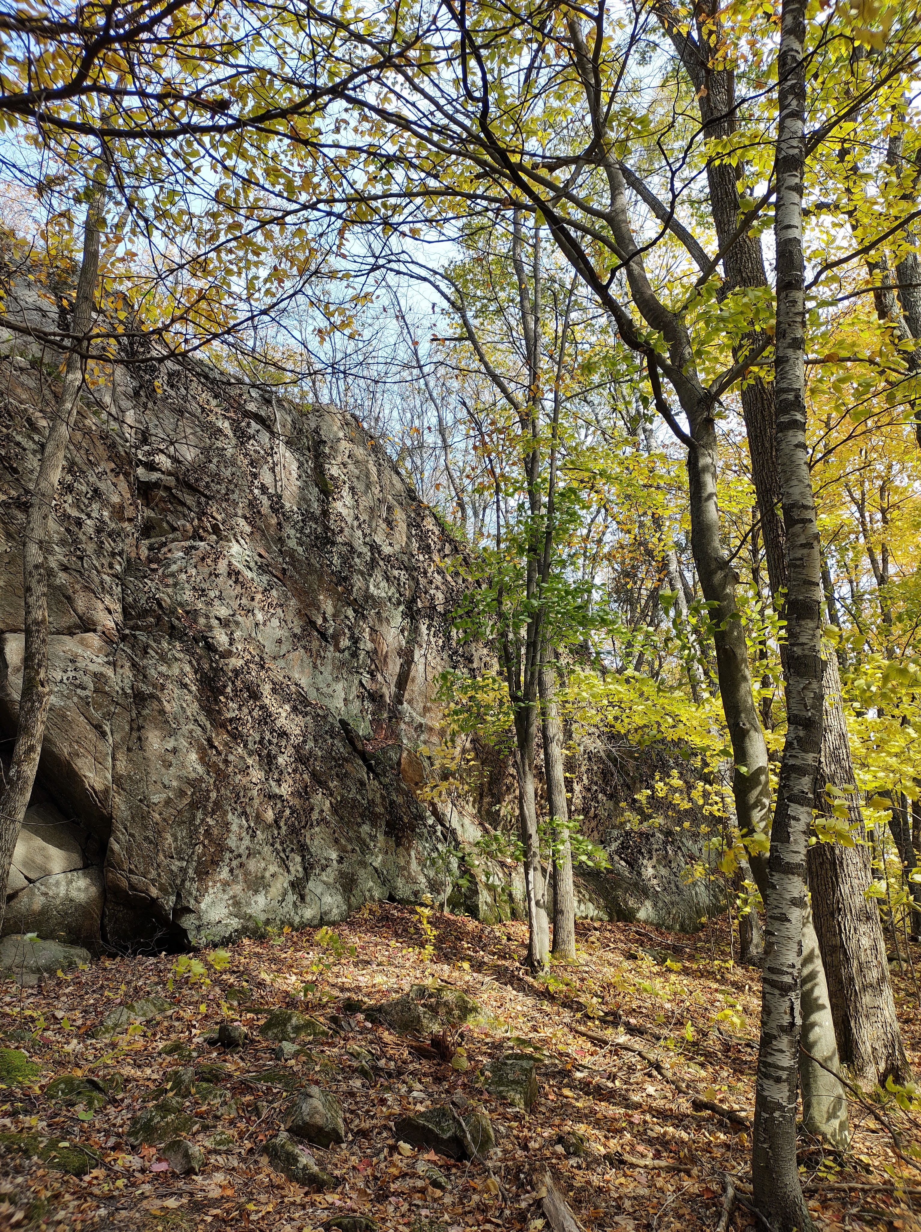
Following paths in the woods is fairly rudimentary, although sometimes leaves obscuring the more obvious routes can make it more tricky but we felt like we were navigating our way successfully for the most part.
We decided to do one of the loops on the map which would take us to a viewpoint, a panoramic vision of the trees and then we would be back at the top of the chairlift for the descent. We came to the crossroads as shown on the map where we needed to turn one way to head towards the view and another to head off towards another trail. We consulted, agreed and headed off in the direction we thought would be correct.
I am sure that you know where this is heading. I wish that we could have said the same.
It was a long hike. It was a hike with very steep inclines where tree roots had to be used as belays to safely navigate the slope. It was a hike that seemingly went on for a long time until the chairlift became a distant dream. It was a hike in the wrong direction.
We were not alone in this as other hikers, albeit without a map, were also wondering where on Mount Manitou they were. We didn’t offer them any insight as we had none to give. And then, miraculously, a local elderly lady, walking her dog and obviously, far more used to the trails than we were, said that we were heading towards a trail called Bearclaw, an auspicious sounding name if ever I heard one and that if we followed it, we would find some condominiums and a car park ahead. Condominiums and a car park on the side of the mountain? The map had not revealed these except at the very bottom, where our car also happened to be residing while we intrepidly trekked.
We continued doggedly, looking for the path that would take us towards lunch, it now being well after lunch time, when the path forked again. Oh dear.
Which path to take? We discussed it and I repeated what I thought the lady, our guiding angel of the woods had said, that we were on Bearclaw, only to be told, quite sharply, that that was wrong from a rather cross voice behind us. Imagine our surprise when we discovered that it belonged to the said lady who once again, like a guiding light, had appeared to help us towards our sandwiches and juice boxes and who repeated exactly what she had, in fact, said rather than what my ears thought they had heard. I was a bit taken aback by her sudden unexpected appearance (old ladies in woods mythically have a bad reputation), especially at a time when it could be suggested that I was contradicting her, but perhaps it was timely as we then knew from her sureness and erudite manner that we were definitely heading towards refreshment and rest.
The trees thinned and the hotel, fountain and most importantly, car park emerged ahead of us and the relief of all of us, especially that of our stomachs, was palpable.
Despite the length of our hike, it was thoroughly enjoyable and I would highly recommend it as something Covid safe to do on a Fall day. And there is nothing like being in the beauty of nature to give you a warm fuzzy feeling inside and an appetite.

One thought on “Exploring Ontario – Lake Calabogie”